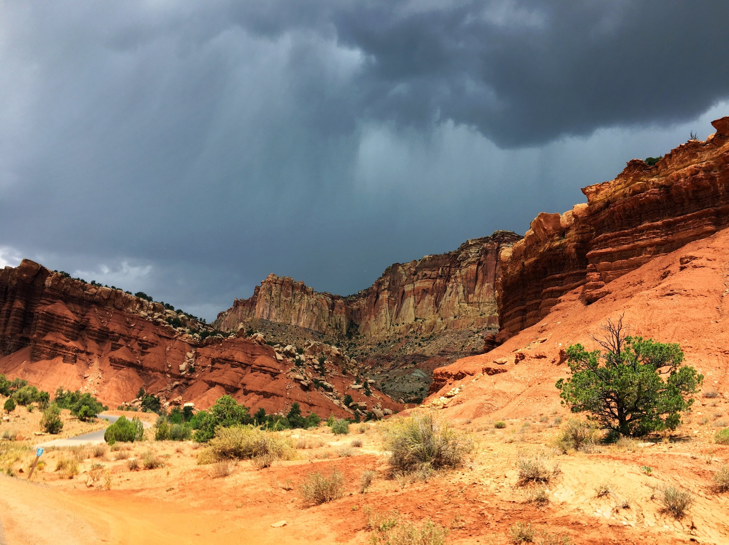
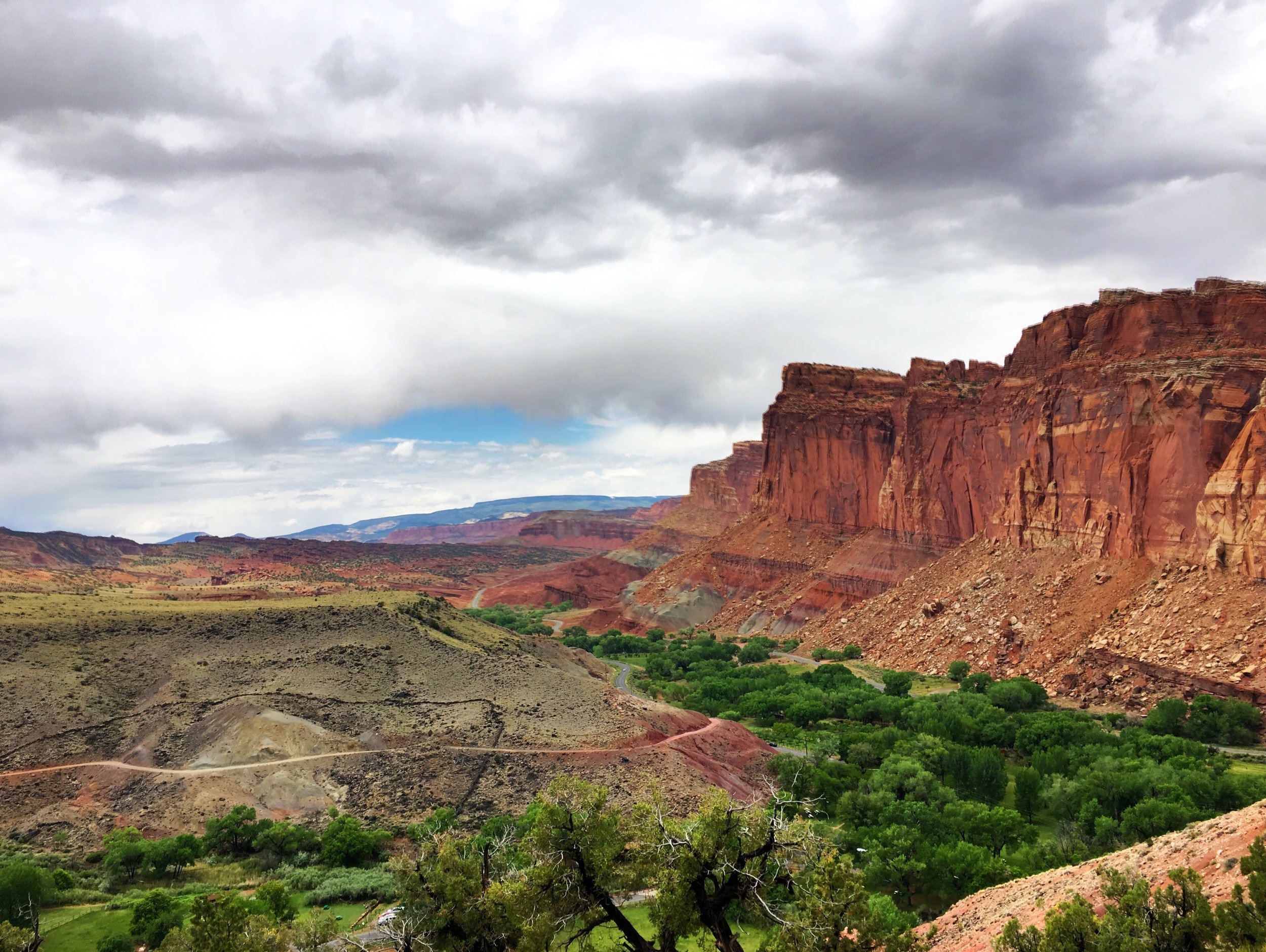
My fifth and final of the “Mighty Five” was Arches National Park, known for the many beautiful natural arches. I got an early start to try and avoid both the crowds and the afternoon heat and was able to see/hike everything that was open in about 5 hours (and then it was ay too hot for me!)
My first stop was the most famous of the arches, Delicate Arch, reached by a 1.5 mile crowded trail (even at 7:30 AM). The arch was stunning, but it was almost impossible to get a photo of it without tourists in it- there was literally a line to take a picture under it. I figured if everyone else was doing it, I’d get one too :)

Hate myself for doing this.
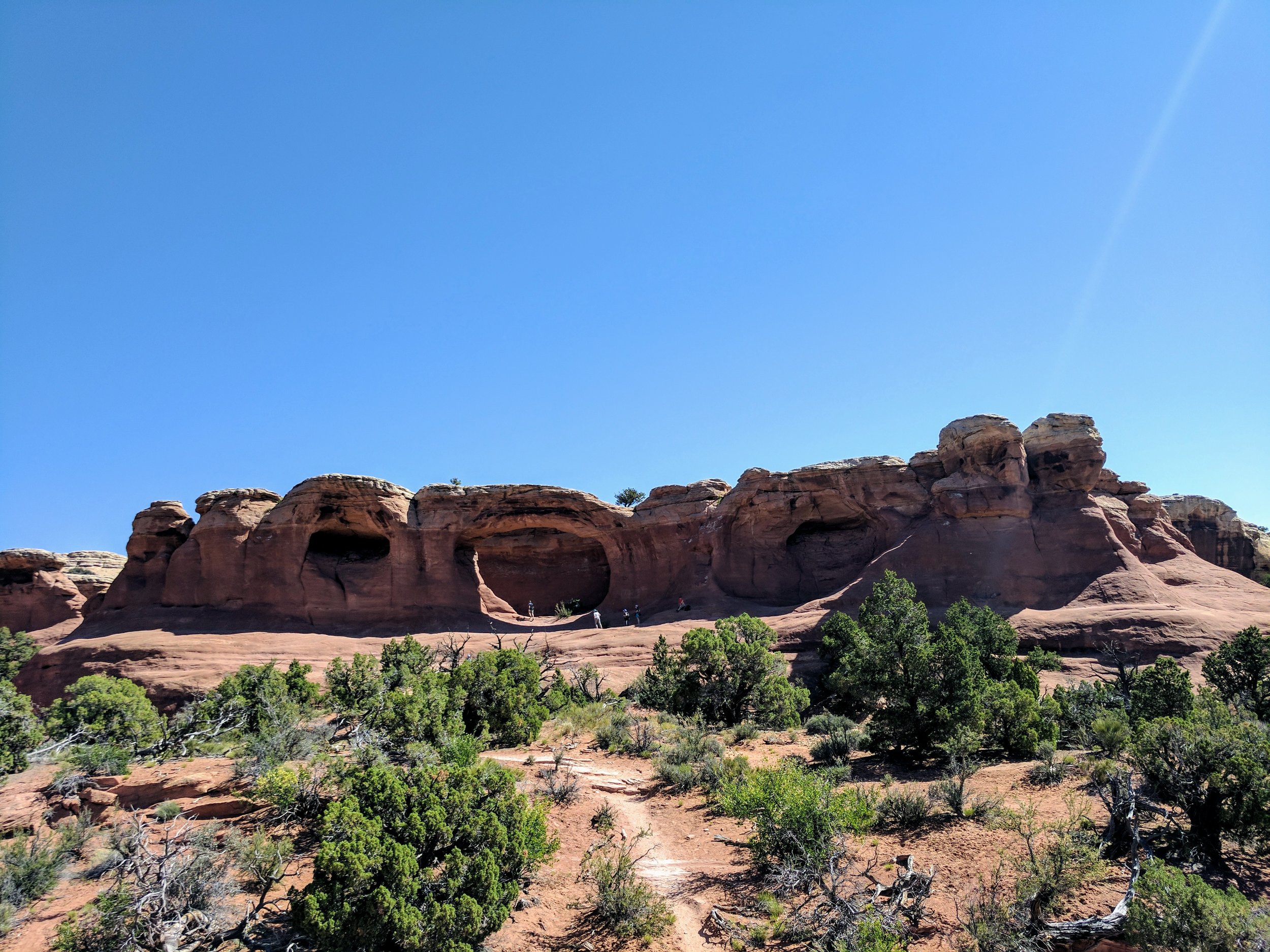
After that, I visited….all the other arches which are very cool in real life but these photos will probably be kind of boring because they’re well, just a bunch of pictures of arches!
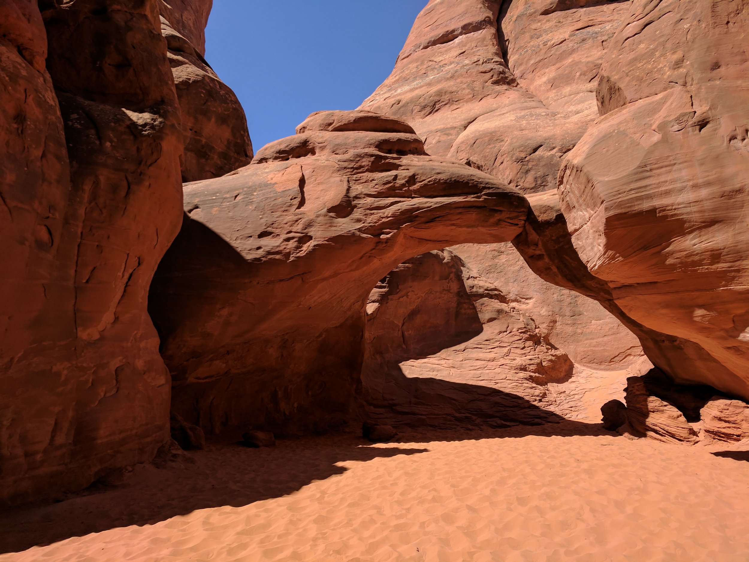
Broken Arch (because it has a crack at the top, but I think it's only visible from the other side)
Tapestry Arch featuring the most annoying person I saw all day. His friend was making multiple videos of him running down the arch and then yelling something at the end. Even from how far away I was, I could hear him. Ah, nature.
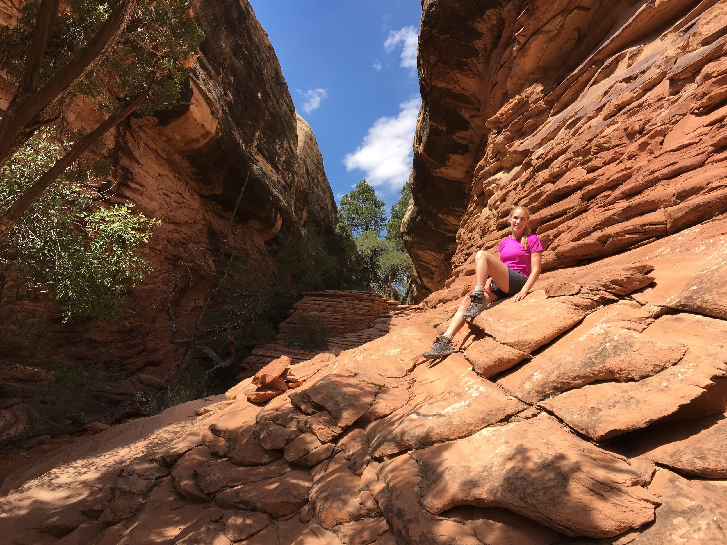
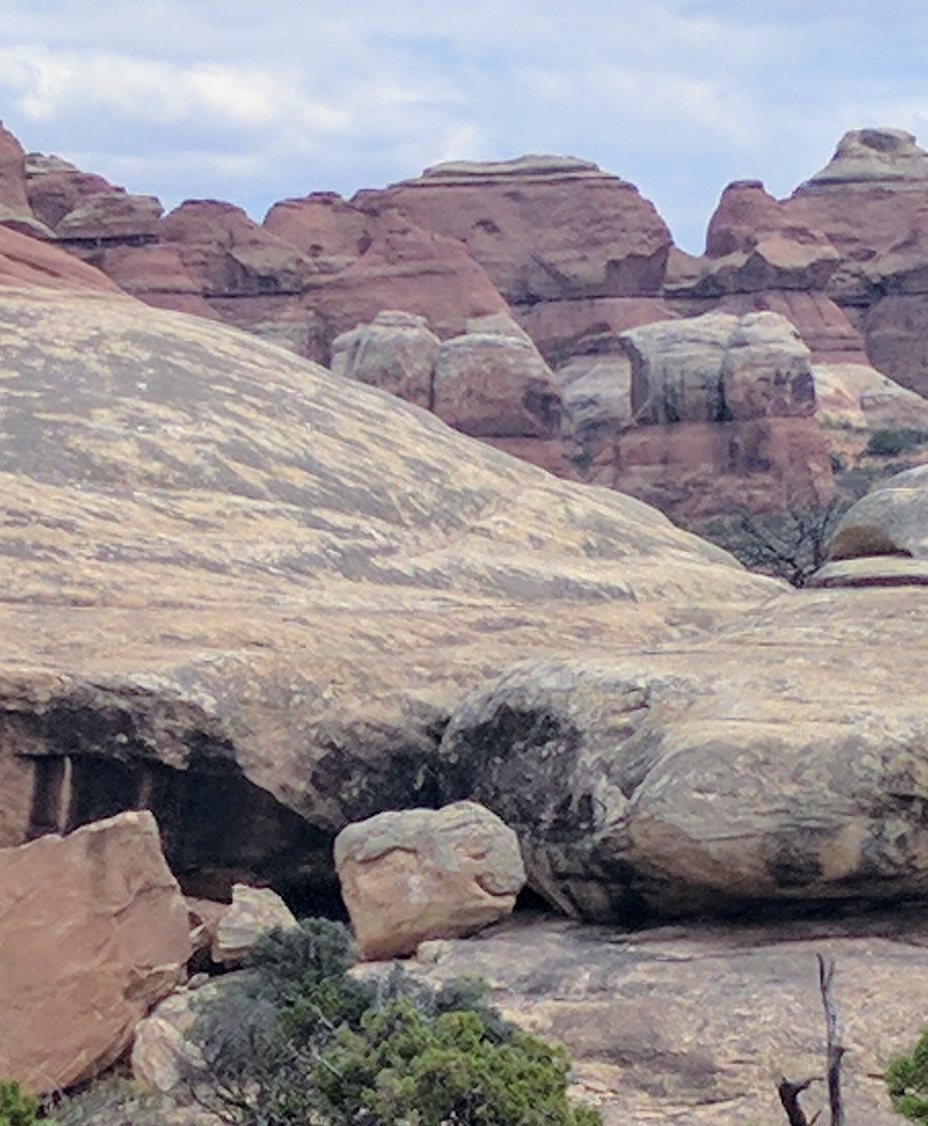
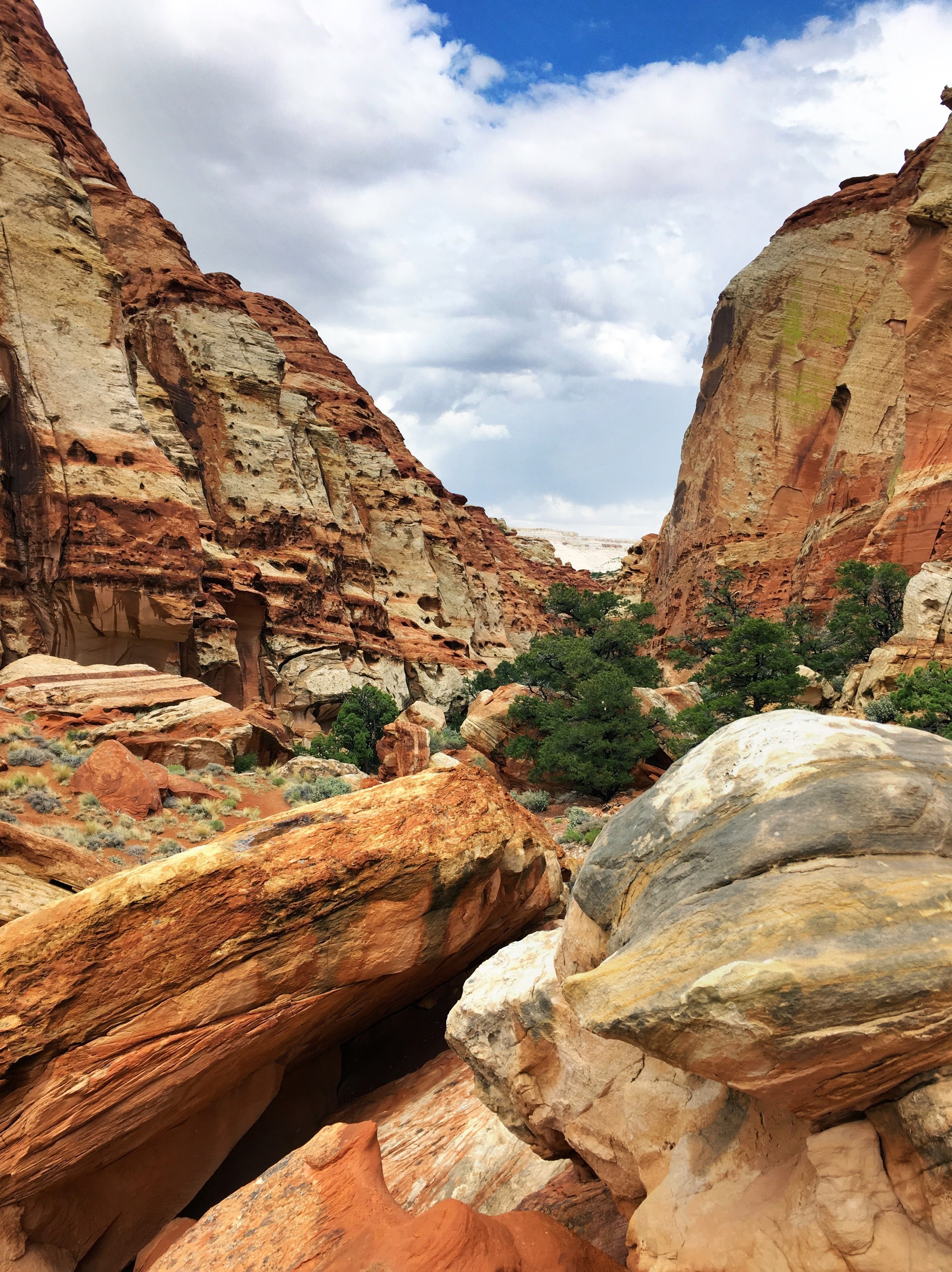
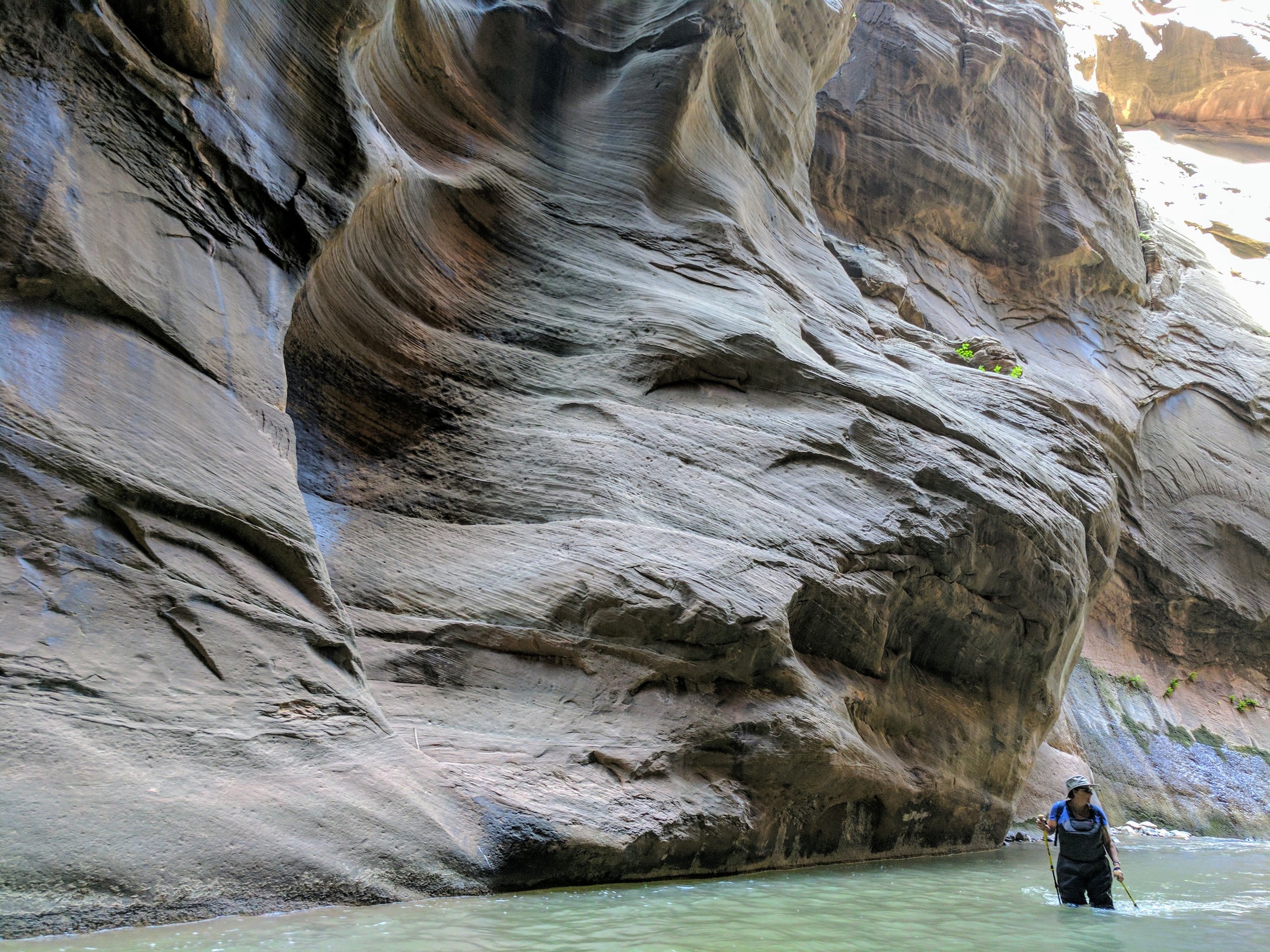
Sanstone Arch- the hike to get to it is super short, but I liked it a lot, you hike through a narrow canyon. It was like The Narrows, but in the desert.

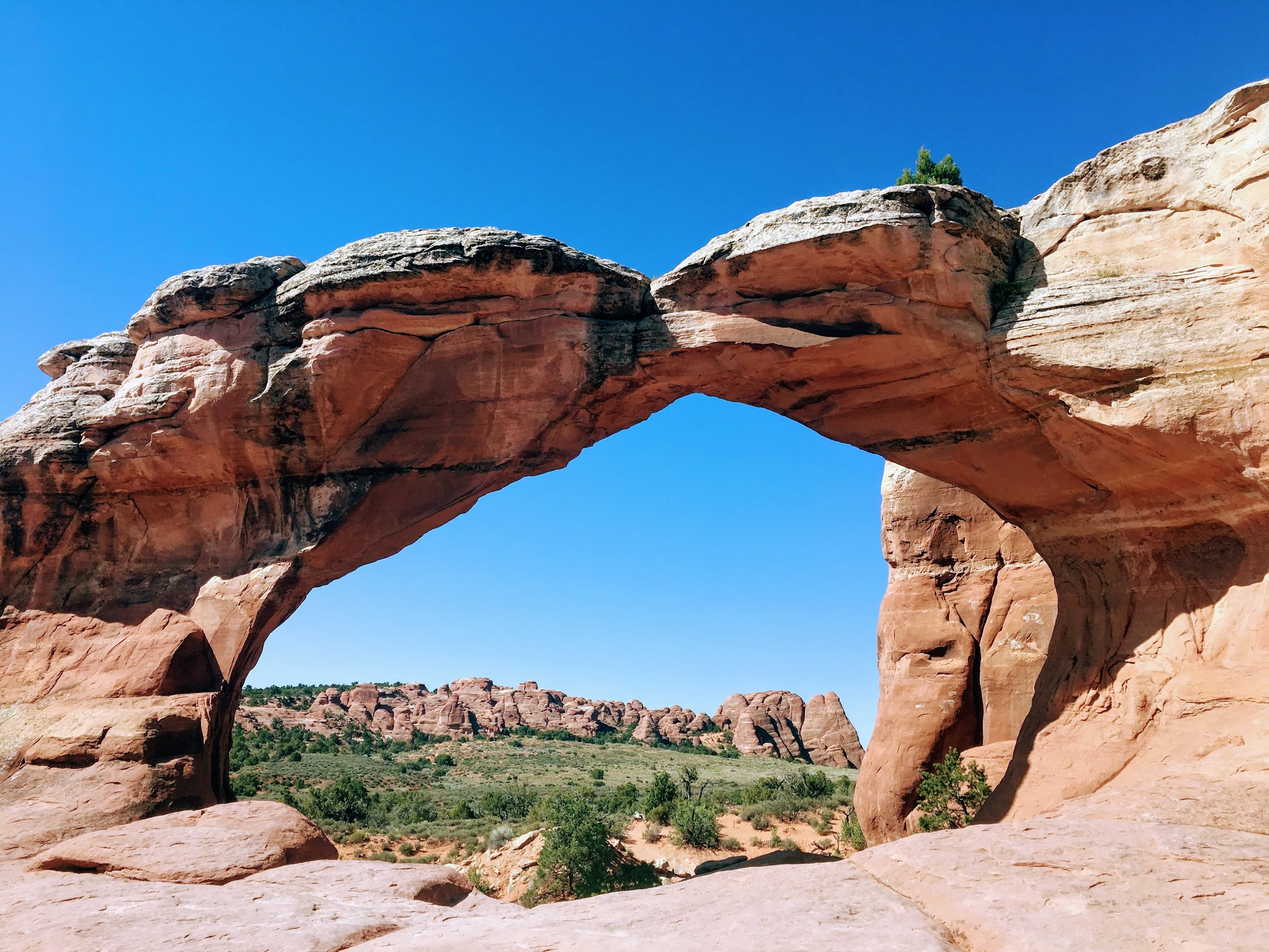
One of "The Windows." See the teeny people in this photo? That's how big the arch is!
Overall, I loved the arches, but the hordes of tourists kind of ruined the mood. The park is really easy to get to from Moab and the trails are very accessible, which means lots and lots of visitors. It’s great that so many people can experience the beauty of the park, but the crowds and all the silly photos they were taking got very tiresome!
I also made it to one other arch that isn't part of the park: Corona Arch. At the trailhead to that arch, there are two different trails: one that goes to the arch and one that actually seems pretty well traveled but goes....NOWHERE! The first time I went, I hiked to the nowhere trail. It was very sweaty and disappointing. But my last morning I was determined to make it to Corona Arch, and this time got on the right track! It was an easy mile hike, and the arch was stunning. Of course, some annoying person ruined the moment by having a drone flying around.

My trip to Utah was amazing, and now I'm back at work, womp womp :( So long for now, stay tuned for my next adventure!